While most people will stick to the Kernville gauge for the Upper Kern and the Below Isabella gauge for the Lower Kern, sometimes you want to see all the data. This post includes it. For those looking for the Army Corp read out, we have a blogpost covering that as well (link).

Above Fairview Dam (Upper Kern)
This gauge is at Fairview Dam, on the upstream side. This is the furthest upstream gauge on the Upper Kern.
Below Fairview Dam (Upper Kern)
This gauge is at Fairview Dam, on the downstream side. Why have two gauges? This will show you how much water is in the Upper Kern reach after KR3 has pulled out the water for the downstream powerplant at the Lickety Split put-in.
Kernville (Upper Kern)
This gauge is located at Kernville and is the most common gauge that people go off of when they are referring to Upper Kern flows. While there isn’t too much of a difference between this gauge and the above Fairview one, the middle reaches do pick up some creeks which add to the flow.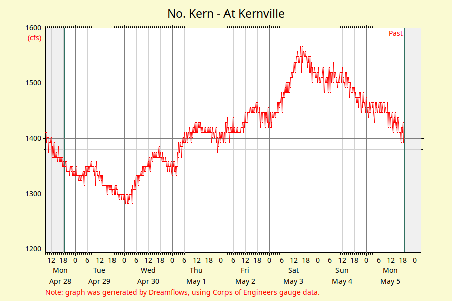
Below Lake Isabella (Lower Kern)
This gauge is located at the dam outlet as the water flow is controlled.

Thanks for reading! Similar topics:
- All Kern River articles
- Popular: Where does the Kern River start?
- Popular: Kern River Hot Springs
- Popular: Best Kern River rafting campgrounds