Upper Upper Pacuare
Upper Upper Pacuare waypoints and general information
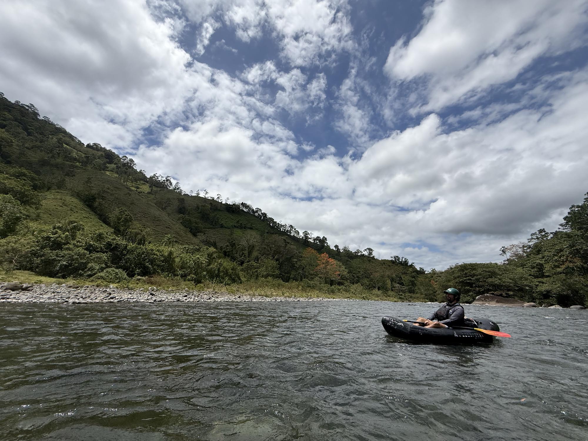
Costa Rica Rivers
Upper Upper Pacuare River
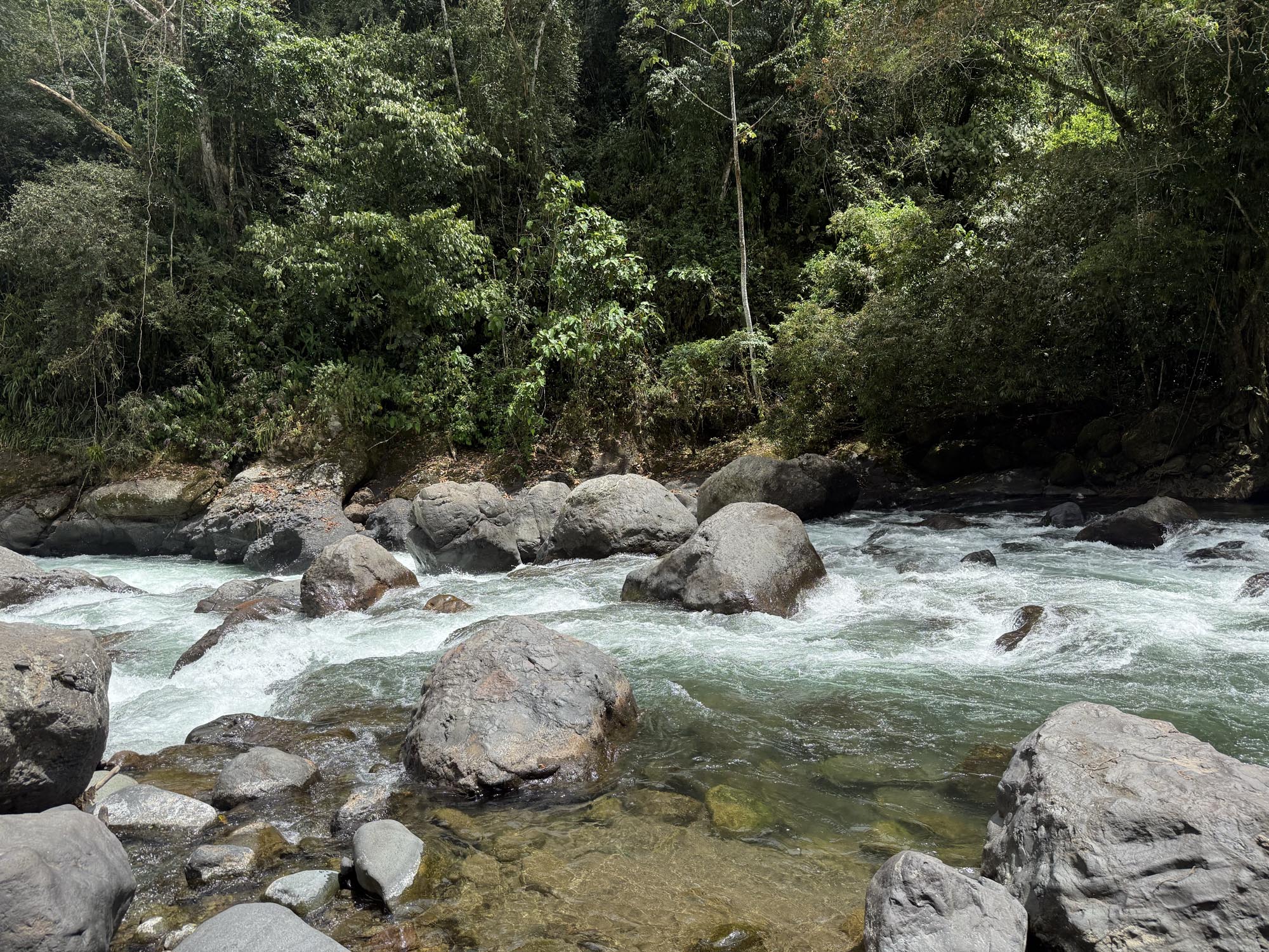
The Upper Upper Pacuare is known for its continuous whitewater, deep pools and fun rapids.
This guide is in BETA and has limited information. Do you know the rapid names or other POIs? Click here to add them to this guide.

Pacuare Outdoor Center runs trips on the Upper Upper Pacuare River. Located in nearby Turrialba, they also offer lodge trips on the Pacuare River. Learn more about Pacuare Outdoor Center.
About This Guide
This guide gives very basic waypoints for the Upper Upper. It lacks medium and high water information.
Shuttle
Setting your own shuttle would take a long time. Hire someone to shuttle your vehicle.
Safety
Like many rivers in Cosat Rica, the Upper Upper can come up quickly. It is important to not be on the water if it is rising or if rain is in the forecast. Additionally, the river and rapids are in constant flux and change often. What was once a Class II rapid can shift with a flood and be a completely different rapid overnight. Channels close off while others open up.
Upper Upper Pacuare – Class II, III & IV
When the flows are right this is an incredible river for packrafting and kayaking. Higher flows allow for rafts but aren’t as common.
Kilometer 0 – Alternate Top Put-in
If you want to squeeze as much distance as possible this put in is available. Just off the side of the road a short trail takes you through the thick brush to the river.
From here until takeout – Rapids
Class III. The entire stretch has whitewater that’s broken up by pools. Practically all of the rapids are unnamed, they all change with high water and it would be an impossible task to keep up with their exact locations. At low flows the rapids are fun for kayaking, straightforward for the most part and not too difficult. Like many of the rivers here, this can change.
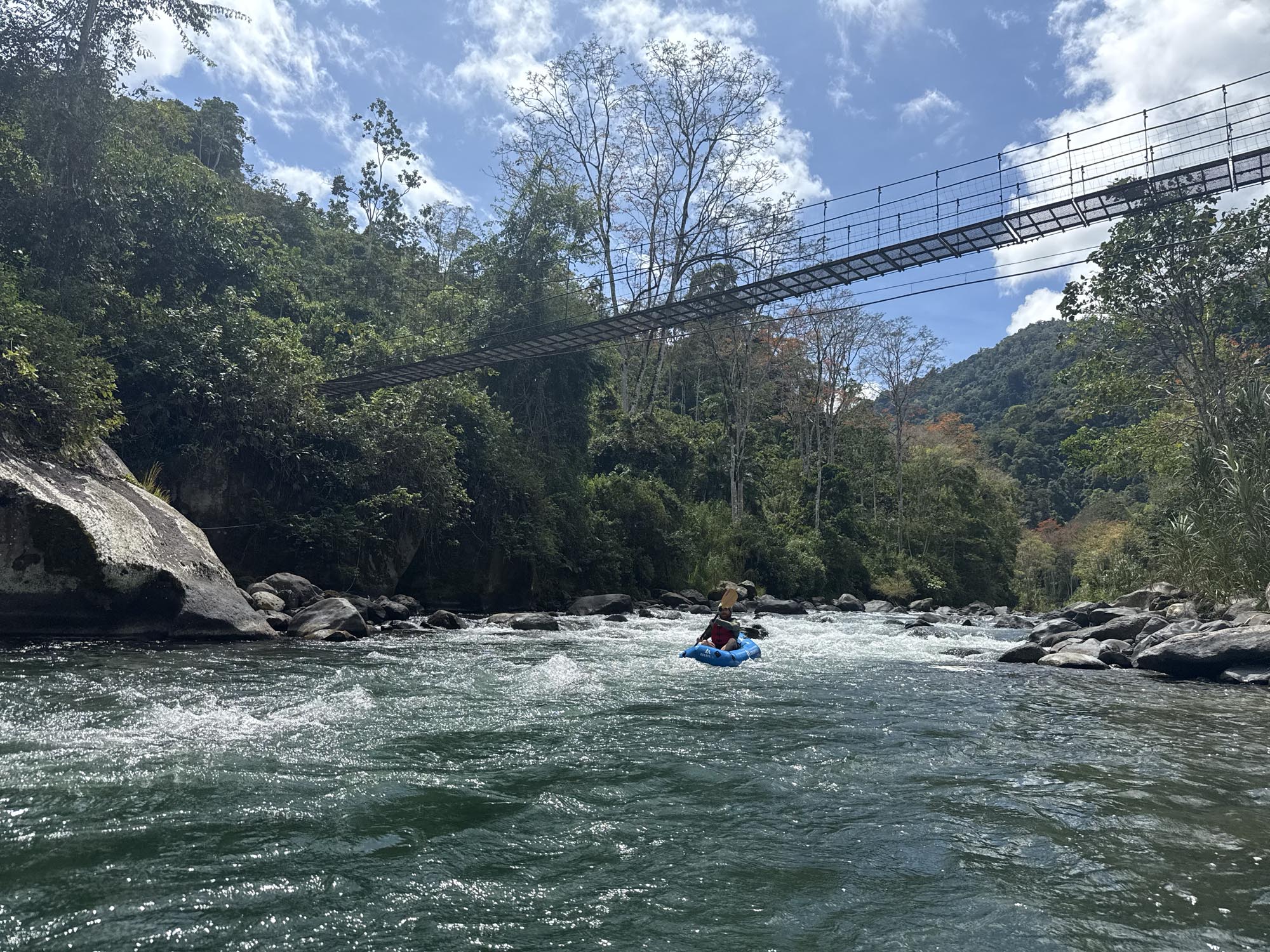
Kilometer 05. – Foot bridge
Footbridge crosses the river here.
Kilometer 2 – Regular Put-In & vehicle bridge
River Right. This is the more commonly used put in location for the Upper Upper. Cross the bridge, and then you can access the river through a field. You might be asked to pay a few hundred colones per person.
Kilometer 6.7 – Por Donde Me voy
Class IV. Where do I go? Easy portage on river left during lower flows. This is just a messy jumble of rocks.
Kilometer 9.4 – Creek
River Right. Small creeks meets the river here.
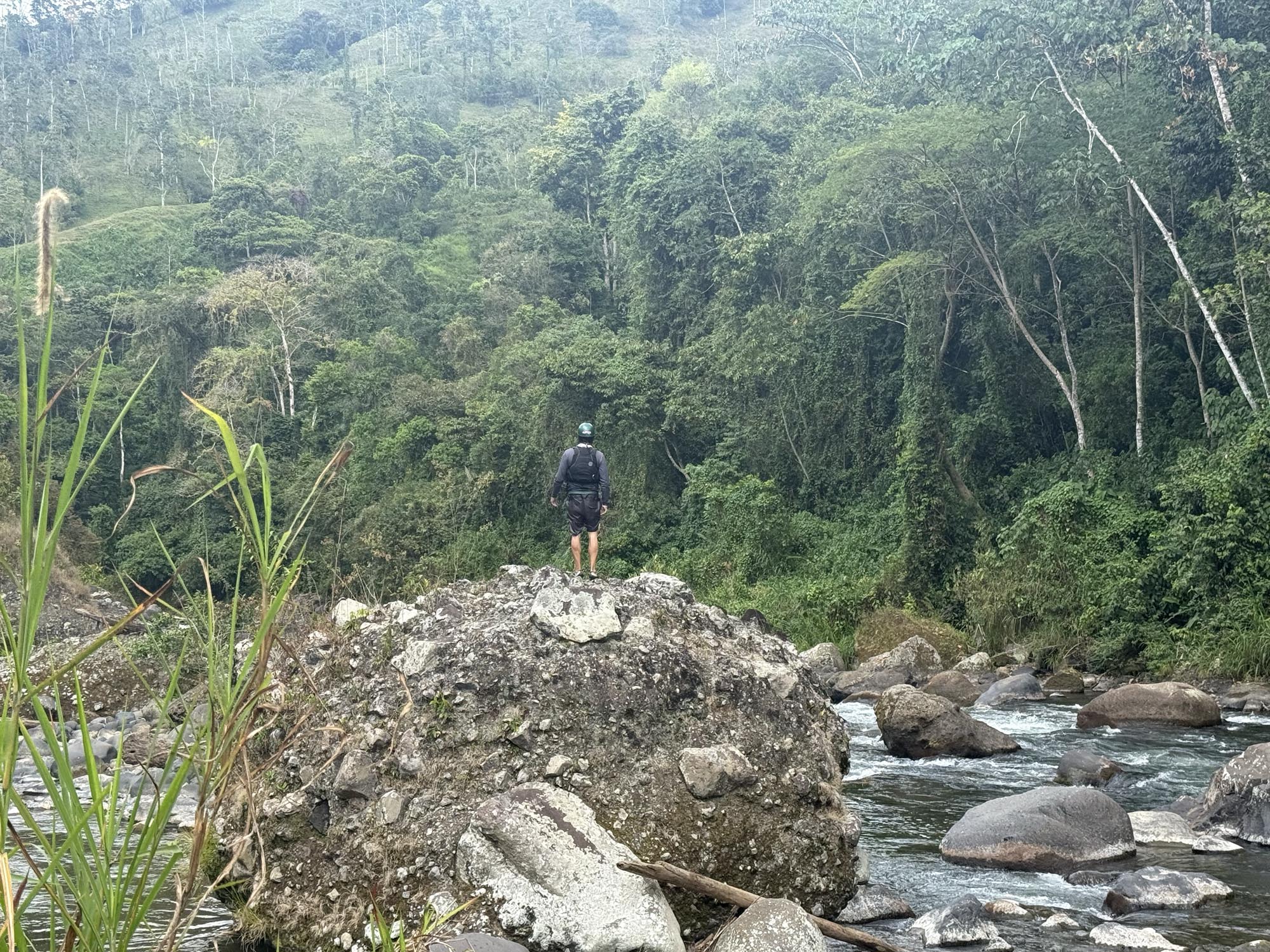
Kilometer 9.5 – Tower landmark
River Left. Good landmark on the river left ridge with the building on stilts.
Kilometer 9.9 – Footbridge
Another footbridge.
Kilometer 10.2 – Waterfall
River Right. Creek enters the river on river right with a small waterfall.
Kilometer 11 – Rapids pick up
Class III. From here until take out the rapids pick up in intensity.
Kilometer 12 – Scout this
Class III. I would scout this. It tends to change a lot.
Kilometer 12.5 – Upper Upper TakeOut
River Left. This is the takeout for the Upper Upper and the starting point for the Upper Pacuare.
This guide is in BETA. Help this page by adding a waypoint
Do you know this run? Submit a waypoint below.